

The Walk to the Sea covers four centuries of Boston history. Follow this free walking tour with markers running through downtown Boston and the accompanying digital resources to learn how Boston’s spaces have changed over time.
Start your journey by opening the map or begin at the first marker on Beacon Hill.
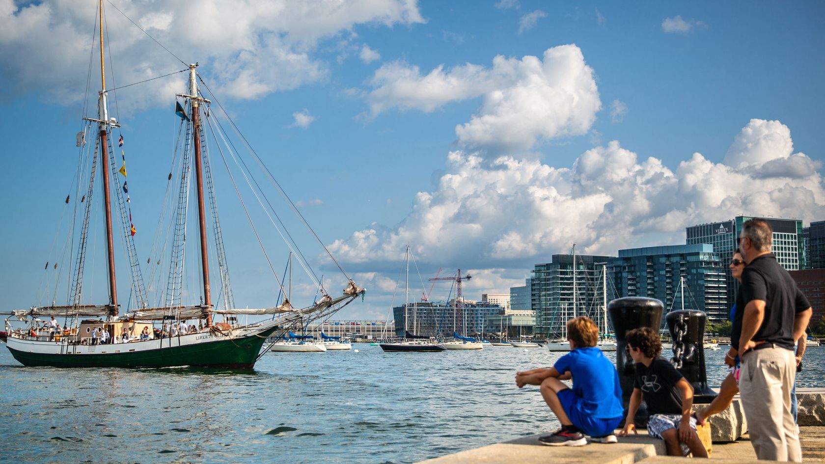
The Walk to the Sea crosses a terrain that, centuries before, was not land at all, but an active port. Beginning at the State House on Beacon Hill, overlooking the old Boston Common, the Walk passes historic monuments and skyscrapers. From Beacon Hill to Long Wharf, the Walk invites you into a history that is linked to the sea, whose smells and sounds once invaded the city. This one-mile interpretive walk through the heart of Boston gives life to that story.

Start your journey by selecting one of the Walk to the Sea locations. Each location features a permanent interpretive marker in the city.
Accessibility and Route Planning
The complete Walk to the Sea route is 1.4 mi (2.25km) in length. From its highest point at the origin in Beacon Hill to the lowest point at Long Wharf, the elevation loss is 90 ft (28 m). By following curb cuts, the walk is ADA accessible.
The Walk to the Sea is a project of the Mapping Boston Foundation and the Norman B. Leventhal Map and Education Center at the Boston Public Library